Work / Mapping an ocean
Mapping an ocean.
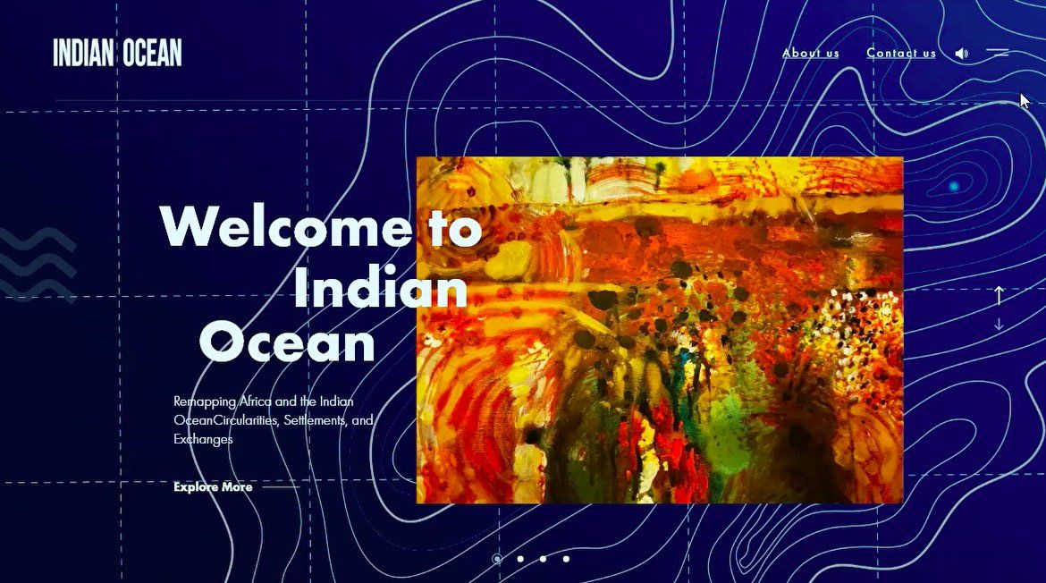
A research microsite for Georgetown University Qatar's Indian Ocean project — a scroll-driven public-facing site with an interactive map, source-cited footnotes, and a sibling Arabic edition.
· Overview
The brief
Georgetown's School of Foreign Service ran a research programme on the Indian Ocean as a geopolitical region. The research was deep; the audience — policymakers, journalists, students — needed a doorway that respected the depth without drowning them in it.
We designed the site as a scroll-driven research journey. An interactive map as the spine, written sections as the stops, source citations in footnotes, and a parallel Arabic edition because the region's conversation happens in both languages.
1
Scroll-driven journey
2
Languages · AR + EN
1
Interactive map spine
1
Public-facing microsite
· Approach
How we worked
01 — Research-first IA
Spent more time on the information architecture than the visual design.
02 — Map as narrative spine
Interactive Mapbox map with layered data sources.
03 — Source transparency
Every claim linked to its source in a footnote.
04 — Bilingual at the source
AR and EN content modelled as peers in the CMS, not translations.
· From the work
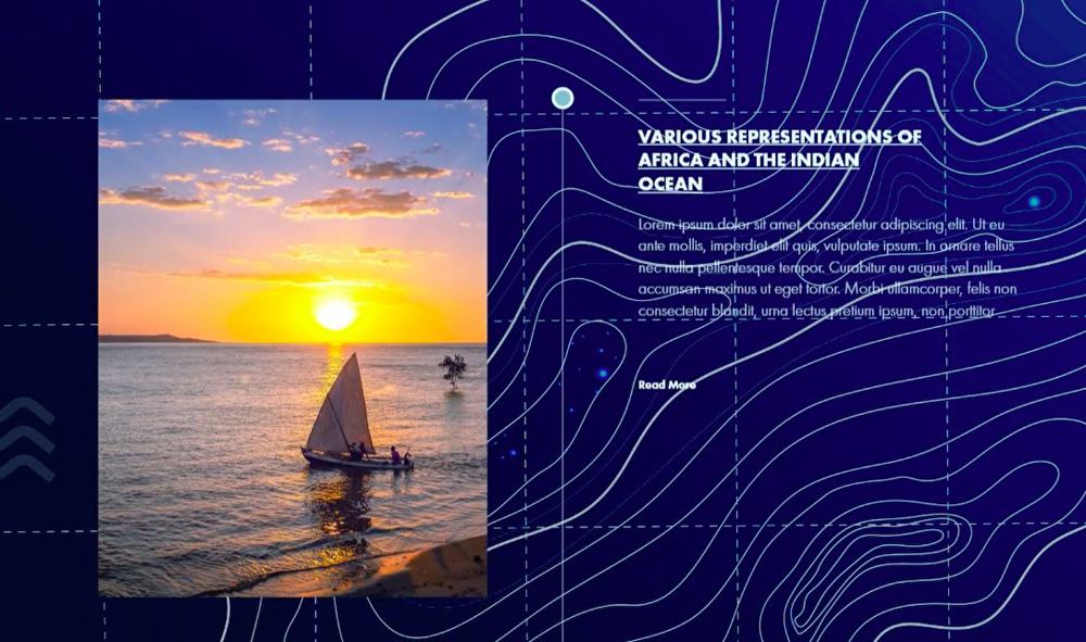
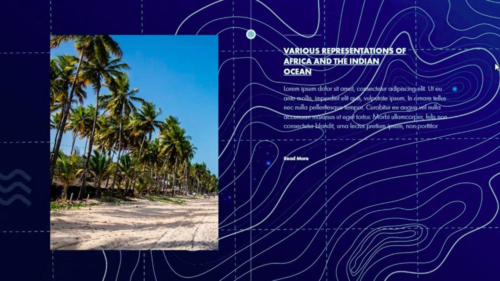
Pages from the scholarly map.
Pages from the interactive scholarly map — timeline, regions, and primary sources.

· Next project
A clinic, launched. →
Turning research into a public site?
Share the programme and the audience. Proposal back within a business day.
· Related projects
More work from the studio.

Bilingual, and shipping. — QPlastics
For QPlastics we designed a full brand identity and shipped their new bilingual corporate website together.

ISMAHA, shipped. — Georgetown University Qatar
A bilingual Next.js platform shipped for ISMAHA at Georgetown University Qatar — research portal with accessible design and Arabic-first UX, by Freezil.

Tailix — one home for pet life. — Tailix
Brand identity and the full mobile-app UI for Tailix, Qatar's all-in-one pet marketplace — 40+ screens across 10+ flows: shop supplies, book grooming and veterinary services, adopt, manage a pet profile, and connect with a community.